


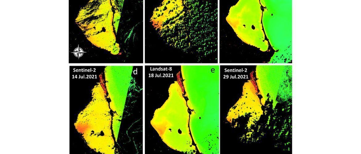
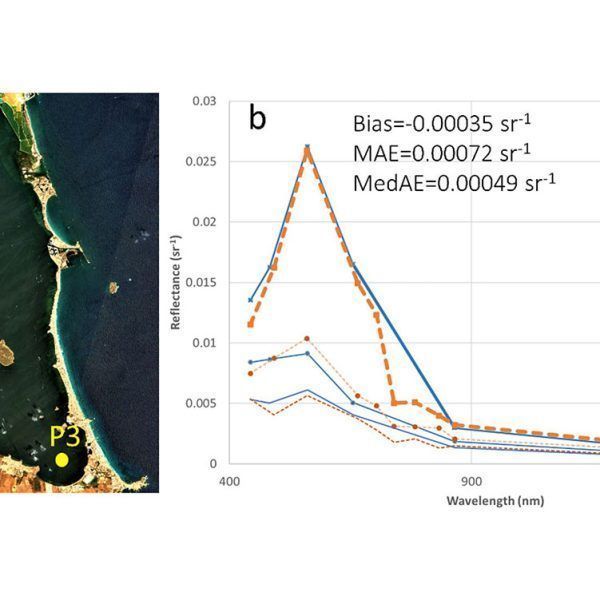
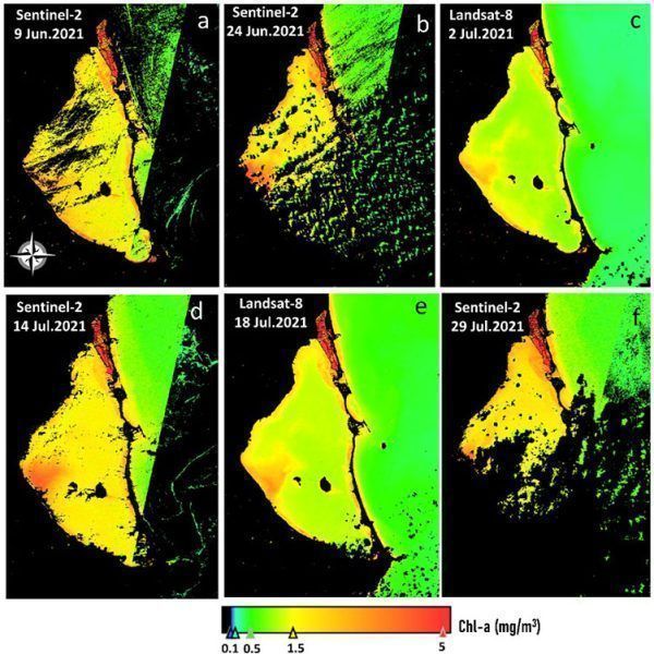
One of the main problems occurring in the Mar Menor in recent years is eutrophication events, caused by nutrient inputs and consequent increases in chlorophyll levels. A study has been carried out on the levels of chlorophyll and turbidity in the Mar Menor over the course of a year by sampling the lagoon. These data have been used to calibrate satellite images and obtain a model that allows us to capture the spatio-temporal distribution of turbidity and chlorophyll-a concentration at a spatial resolution of 10-30 m in a systematic and cost-effective way. These innovative tools can help decision-makers to improve current monitoring strategies as early warning systems for timely assistance during these ecological disasters, thus avoiding detrimental conditions in the lagoon.
Reference: Caballero, I., Roca, M., Santos‐Echeandía, J., Bernárdez, P., Navarro, G., 2022. Use of the Sentinel‐2 and Landsat‐8 Satellites for Water Quality Monitoring: An Early Warning Tool in the Mar Menor Coastal Lagoon. Remote Sensing, 14(12), 2744. More information available at: https://www.mdpi.com/2072-4292/14/12/2744




No comments yet.